Benchmarking consists of using a GPS device to search for geodetic control points. These points are permanently affixed objects that enable land surveying, civil engineering, and mapping to be done efficiently. The objects are generally metal disks and denote either vertical or horizontal control.
Fascinated by all of this? You should be! ;)
The following are some of the pictures from this weekend's benchmarking adventures. Together, they comprise the
Illinois Virtual Reality Tour: More than Just Chicago (Now with added corn!). If you love corn, you are in for a real treat!
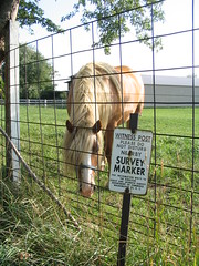
As I was taking a picture of the witness a post to a nearby benchmark, this equine witness came by to ham it up for the camera. She was a remarkably friendly horse. In fact, I think that she wanted to follow me home. Can I keep her?

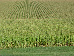
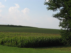
In case you didn't know, there is a whole lot of corn in Illinois.

A
whole lot of corn.

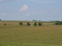
Even in death, Illinois residents are swallowed by the corn, giving credence to the old saying, "There is no escaping death and corn in Illinois". (Yes, that is a cemetary amidst the corn!)

Of course, no tour of Illinois is complete without the compulsory Abe Lincoln
money shot:

If you love corn and loved this post, stay tuned for the official Illinois corn wallpapers, screen savers, and AOL buddy icons. ;)


|| Permanent Link || Comments (0)